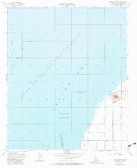
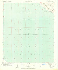
1956 Map of Obsidian Butte
USGS Topo · Published 1983About this map
Obsidian Butte rises from the southeastern shore of the Salton Sea, providing a sharp volcanic contrast to the surrounding desert lowlands of Imperial County. Surveyed in the mid-1950s, this area is defined by the heavy engineering required to manage water and drainage in a basin sitting at an elevation 235 feet below sea level. The landscape is bisected by an intricate system of irrigation and drainage infrastructure, including the Vail Cut Off Drain, Lateral 5, and Pumice Drain, which channel water toward the sea. The Salton Sea National Wildlife Refuge dominates the western portion of the map, while the mouth of the New River enters from the south. Cultural features are sparse, limited largely to agricultural support such as a Quarry and various Pump stations, illustrating the region's primary focus on large-scale water management and resource extraction.
Find a feature on this map
23 named features on this map. Tap any name to fly to it.
Don’t see what you’re looking for? This feature index may not catch every label — zoom into the map to look around manually.
Map Details
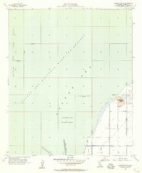
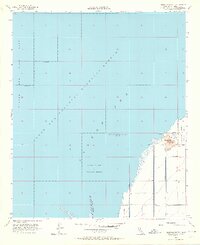
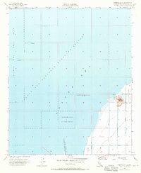
Editions of this 1956 Obsidian Butte Map
4 editions found
Other maps of this area

1940 · Kane Spring
USGS Topo · 1:62,500

1940 · Frink
USGS Topo · 1:62,500

1940 · Durmid
USGS Topo · 1:62,500

1944 · Durmid
USGS Topo · 1:62,500

1944 · Kane Spring
USGS Topo · 1:62,500

1944 · Calipatria
USGS Topo · 1:62,500

1944 · Frink
USGS Topo · 1:62,500

1954 · Salton Sea
USGS Topo · 1:250,000

1955 · Salton Sea
USGS Topo · 1:250,000
1956 · Durmid SE
USGS Topo · 1:24,000