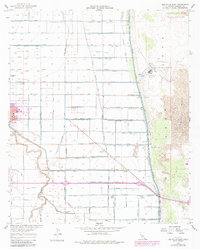
1957 Map of Holtville East
USGS Topo · Published 1979About this map
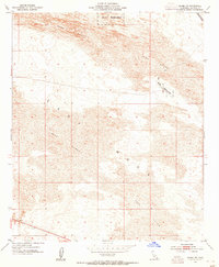
The agricultural landscape of Imperial County unfolds across this survey, centered on the irrigation-dependent communities of Holtville and Date City. The map documents a sophisticated water management system that transformed the desert, featuring an intricate network of canals and drains named for various crops, such as the Peach Drain, Palm Drain, and Pear Canal. This hydraulic infrastructure supported a workforce housed at locations like the Watton Labor Camp and community centers such as the Leehuga Store. To the east, the intensive cultivation abruptly meets the arid Imperial Sand Dunes, highlighting the sharp divide between reclaimed land and the native desert environment. The presence of the Imperial Valley Sanitarium and Alamo School reflects the institutional growth of this desert valley at mid-century, while the Holtville Outlying Field and a separate Landing Strip point to the region's aviation and defense activity.
Find a feature on this map
66 named features on this map. Tap any name to fly to it.
Don’t see what you’re looking for? This feature index may not catch every label — zoom into the map to look around manually.
Map Details
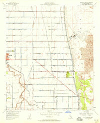
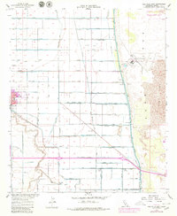
Editions of this 1957 Holtville East Map
3 editions found
Other maps of this area

1907 · Holtville
USGS Topo · 1:125,000

1940 · Alamorio
USGS Topo · 1:62,500

1940 · Calexico
USGS Topo · 1:62,500

1942 · El Centro
USGS Topo · 1:250,000

1943 · Calexico
USGS Topo · 1:62,500

1945 · Alamorio
USGS Topo · 1:62,500
1953 · Calexico
USGS Topo · 1:50,000

1954 · El Centro
USGS Topo · 1:250,000

1954 · Midway Well NW
USGS Topo · 1:24,000
1954 · Glamis SW
USGS Topo · 1:24,000