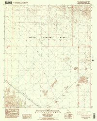
1988 Map of East of Acolita
USGS Topo · Published 1988About this map
The Chocolate Mountains dominate the northern landscape of this Imperial County desert region, where the terrain transitions into a designated Aerial Gunnery Range. This military presence defines the mid-century use of the land, underscored by a network of 4WD trails and restricted zones. In the southwest, the dramatic topography of the Algodones Sand Dunes meets a more industrial landscape, marked by a Pumping Station and a prominent Pipeline corridor protected by a Dike. Extractive activity is evident throughout the southern and eastern sectors, with numerous Gravel Pit sites and a Prospect located near the mountain foothills. This map documents a specialized landscape defined by military training, resource extraction, and the infrastructure required to move water and energy across the arid basin.
Find a feature on this map
16 named features on this map. Tap any name to fly to it.
Don’t see what you’re looking for? This feature index may not catch every label — zoom into the map to look around manually.
Map Details
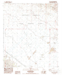
Editions of this 1988 East of Acolita Map
2 editions found
Other maps of this area

1903 · Yuma
USGS Topo · 1:125,000

1905 · Yuma
USGS Topo · 1:125,000

1907 · Holtville
USGS Topo · 1:125,000

1942 · El Centro
USGS Topo · 1:250,000

1942 · Yuma
USGS Topo · 1:250,000

1942 · Blythe
USGS Topo · 1:250,000

1953 · Quartz Peak
USGS Topo · 1:62,500

1953 · Ogilby
USGS Topo · 1:62,500

1953 · Acolita
USGS Topo · 1:24,000

1953 · Acolita
USGS Topo · 1:62,500