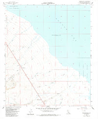
1956 Map of Truckhaven
USGS Topo · Published 1984About this map
Salton Sea dominates the northeastern corner of this desert landscape, recorded here during the mid-1950s. The shoreline is marked by a notable elevation of 235 feet below sea level, reflecting the unique terminal lake environment of the Imperial Valley. Military and industrial interests are evident through the Salton Sea Test Base and its specialized B-1 unit along the coast, while several Oil Test Wells inland point to era-specific exploration efforts.
Find a feature on this map
29 named features on this map. Tap any name to fly to it.
Don’t see what you’re looking for? This feature index may not catch every label — zoom into the map to look around manually.
Map Details
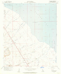
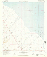
Editions of this 1956 Truckhaven Map
3 editions found
Other maps of this area

1904 · Indio
USGS Topo · 1:125,000

1931 · Vallecito
USGS Topo · 1:125,000

1940 · Kane Spring
USGS Topo · 1:62,500

1940 · Durmid
USGS Topo · 1:62,500

1942 · Barrel Spring
USGS Topo · 1:62,500

1942 · Agua Dulce
USGS Topo · 1:62,500

1943 · Vallecito
USGS Topo · 1:125,000

1944 · Agua Dulce
USGS Topo · 1:62,500

1944 · Durmid
USGS Topo · 1:62,500

1944 · Kane Spring
USGS Topo · 1:62,500