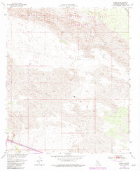
1954 Map of Glamis SW
USGS Topo · Published 1979About this map
Imperial Sand Dunes Recreation Lands dominate this desert landscape in the mid-1950s, revealing a shifting terrain of wind-swept ridges and depressions. The presence of the Coachella Canal in the northeast corner provides a stark contrast to the surrounding Sand Dunes, marking the edge of managed water resources in the Imperial Valley. This survey, based on field work by the US Bureau of Reclamation, captures the area before modern off-road recreation became highly formalized.
Find a feature on this map
15 named features on this map. Tap any name to fly to it.
Don’t see what you’re looking for? This feature index may not catch every label — zoom into the map to look around manually.
Map Details
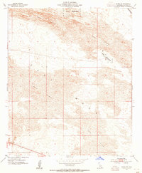
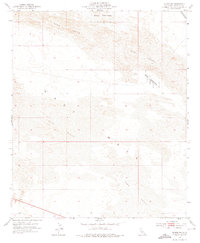
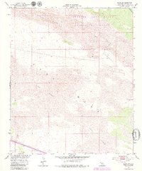
Editions of this 1954 Glamis SW Map
4 editions found
Other maps of this area

1907 · Holtville
USGS Topo · 1:125,000

1940 · Alamorio
USGS Topo · 1:62,500

1940 · Calexico
USGS Topo · 1:62,500

1942 · El Centro
USGS Topo · 1:250,000

1943 · Calexico
USGS Topo · 1:62,500

1945 · Alamorio
USGS Topo · 1:62,500
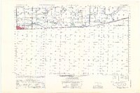
1953 · Calexico
USGS Topo · 1:50,000

1954 · El Centro
USGS Topo · 1:250,000

1954 · Midway Well NW
USGS Topo · 1:24,000
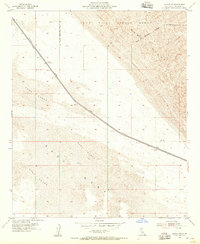
1954 · Glamis SE
USGS Topo · 1:24,000