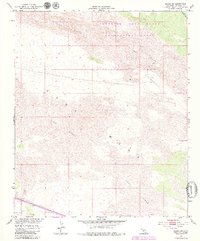
1954 Map of Glamis SW
USGS Topo · Published 1979About this map
Imperial Sand Dunes Recreation Lands dominate this arid landscape in eastern Imperial County, reflecting a period when managed recreation and water infrastructure reshaped the California desert. The map reveals the intricate topographic detail of the Sand Dunes and the broad expanses of the East Mesa, which are intersected by a network of primitive routes like the Jeep Trail and various other trails.
Find a feature on this map
8 named features on this map. Tap any name to fly to it.
Don’t see what you’re looking for? This feature index may not catch every label — zoom into the map to look around manually.
Map Details
Editions of this 1954 Glamis SW Map
4 editions found
Other maps of this area

1907 · Holtville
USGS Topo · 1:125,000

1940 · Alamorio
USGS Topo · 1:62,500

1940 · Calexico
USGS Topo · 1:62,500

1942 · El Centro
USGS Topo · 1:250,000

1943 · Calexico
USGS Topo · 1:62,500

1945 · Alamorio
USGS Topo · 1:62,500
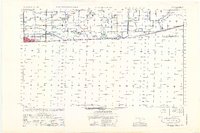
1953 · Calexico
USGS Topo · 1:50,000

1954 · El Centro
USGS Topo · 1:250,000

1954 · Midway Well NW
USGS Topo · 1:24,000
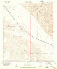
1954 · Glamis SE
USGS Topo · 1:24,000