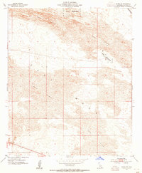
1954 Map of Glamis SW
USGS Topo · Published 1955About this map
Sand Dunes dominate this mid-century landscape of the East Mesa, where the desert terrain remains largely undeveloped except for critical infrastructure. The Coachella Canal cuts through the northeast corner, a vital artery for irrigation in the Imperial Valley. Military activity is evident through the inclusion of a Naval Reservation and its associated Landing Field, likely serving as a training or testing ground during the early Cold War era. This survey, based on topography from the late 1930s and field-checked in 1954, reveals a remote environment where a lone Jeep Trail provides one of the few navigational landmarks across the shifting sands.
Find a feature on this map
7 named features on this map. Tap any name to fly to it.
Don’t see what you’re looking for? This feature index may not catch every label — zoom into the map to look around manually.
Map Details
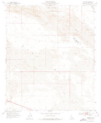
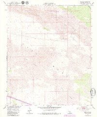
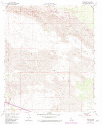
Editions of this 1954 Glamis SW Map
4 editions found
Other maps of this area

1907 · Holtville
USGS Topo · 1:125,000

1940 · Alamorio
USGS Topo · 1:62,500

1940 · Calexico
USGS Topo · 1:62,500

1942 · El Centro
USGS Topo · 1:250,000

1943 · Calexico
USGS Topo · 1:62,500

1945 · Alamorio
USGS Topo · 1:62,500
1953 · Calexico
USGS Topo · 1:50,000

1954 · El Centro
USGS Topo · 1:250,000

1954 · Midway Well NW
USGS Topo · 1:24,000
1954 · Glamis SE
USGS Topo · 1:24,000