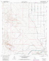
1957 Map of Brawley NW
USGS Topo · Published 1979About this map
The New River corridor in Imperial County reveals a stark contrast between military testing grounds and the desert's complex irrigation network as it appeared in the late 1950s. The western half of the landscape is dominated by the Parachute Range and the Recovery Test Range, which sit alongside a designated Naval Reservation Boundary and a specific Firing Range. These features signify the region's importance to mid-century aerospace and military operations.
Find a feature on this map
34 named features on this map. Tap any name to fly to it.
Don’t see what you’re looking for? This feature index may not catch every label — zoom into the map to look around manually.
Map Details
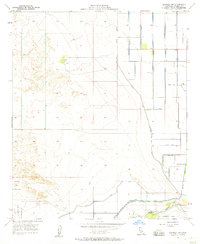
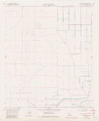
Editions of this 1957 Brawley NW Map
3 editions found
Other maps of this area

1915 · El Centro
USGS Topo · 1:125,000

1940 · Brawley
USGS Topo · 1:62,500

1940 · Kane Spring
USGS Topo · 1:62,500

1940 · Plaster City
USGS Topo · 1:62,500

1942 · El Centro
USGS Topo · 1:250,000

1943 · Brawley
USGS Topo · 1:62,500

1944 · Plaster City
USGS Topo · 1:62,500

1944 · Kane Spring
USGS Topo · 1:62,500

1944 · Calipatria
USGS Topo · 1:62,500

1954 · El Centro
USGS Topo · 1:250,000