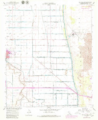
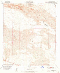
1957 Map of Holtville East
USGS Topo · Published 1979About this map
The Alamo River meanders through a landscape defined by an intricate network of irrigation, captured here during the mid-twentieth century as Imperial Valley agriculture reached a high degree of organization. This survey documents the transition from the irrigated fields of Holtville and Date City to the stark eastern edge of the Imperial Sand Dunes Recreation Lands. Infrastructure is the dominant theme, from the massive East Highline Canal to specialized drainage systems like Pampas Lateral and Palm Drain. Local history is preserved in the location of the Imperial Valley Sanitarium, the Alamo School, and the Watton Labor Camp. Transportation links are well-defined, including the Holtville Interurban RR and Bonds Corner Road, while the Holtville Outlying Field and Lechuga Store provide markers of the region's mid-century community life.
Find a feature on this map
71 named features on this map. Tap any name to fly to it.
Don’t see what you’re looking for? This feature index may not catch every label — zoom into the map to look around manually.
Map Details
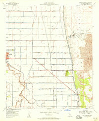
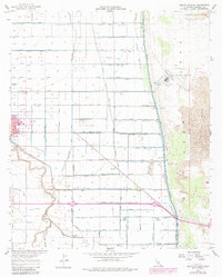
Editions of this 1957 Holtville East Map
3 editions found
Other maps of this area

1907 · Holtville
USGS Topo · 1:125,000

1940 · Alamorio
USGS Topo · 1:62,500

1940 · Calexico
USGS Topo · 1:62,500

1942 · El Centro
USGS Topo · 1:250,000

1943 · Calexico
USGS Topo · 1:62,500

1945 · Alamorio
USGS Topo · 1:62,500
1953 · Calexico
USGS Topo · 1:50,000

1954 · El Centro
USGS Topo · 1:250,000

1954 · Midway Well NW
USGS Topo · 1:24,000
1954 · Glamis SW
USGS Topo · 1:24,000