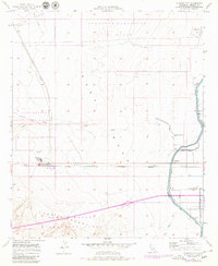
1957 Map of Plaster City
USGS Topo · Published 1979About this map
Industrial operations and military testing dominate this desert landscape, where the Gypsum Plant at Plaster City serves as a major focal point for the regional economy. The San Diego and Arizona Eastern Railroad cuts a straight line across the arid terrain, facilitating the movement of materials through the Yuha Desert. To the north, the Recovery Parachute Test Range and a specialized Parachute Testing Unit indicate the mid-century importance of this area for defense and aerospace research.
Find a feature on this map
25 named features on this map. Tap any name to fly to it.
Don’t see what you’re looking for? This feature index may not catch every label — zoom into the map to look around manually.
Map Details
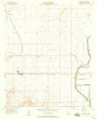
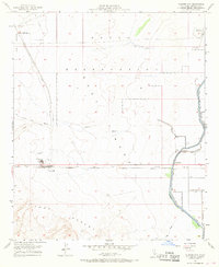
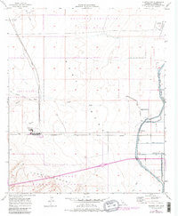
Editions of this 1957 Plaster City Map
4 editions found
Other maps of this area

1915 · El Centro
USGS Topo · 1:125,000

1940 · Brawley
USGS Topo · 1:62,500

1940 · Heber
USGS Topo · 1:62,500

1940 · Plaster City
USGS Topo · 1:62,500

1940 · Coyote Wells
USGS Topo · 1:62,500

1942 · El Centro
USGS Topo · 1:250,000

1943 · Coyote Wells
USGS Topo · 1:62,500

1943 · Heber
USGS Topo · 1:62,500

1943 · Brawley
USGS Topo · 1:62,500

1944 · Plaster City
USGS Topo · 1:62,500