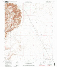
1956 Map of Plaster City NW
USGS Topo · Published 2001About this map
The Fish Creek Mountains dominate the western landscape of this mid-century survey, rising sharply above the expansive flats of West Mesa. This arid region of Imperial County is defined by its military and industrial utility during the post-war era, notably containing the Carrizo Naval Impact Area Reservation. A long Mining Railroad cuts a straight path across the desert floor toward the mountains, while the historic Old Overland Stage Road traces the southern boundary, offering a glimpse into the earlier transportation networks that once crossed this difficult terrain. Small settlements like Barrett and drainage features such as Carrizo Wash provide essential landmarks in an otherwise stark environment of alluvial fans and desert scrub.
Find a feature on this map
10 named features on this map. Tap any name to fly to it.
Don’t see what you’re looking for? This feature index may not catch every label — zoom into the map to look around manually.
Map Details
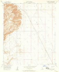
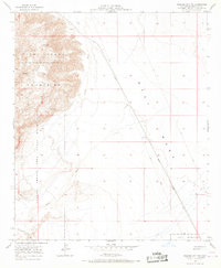
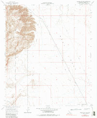
Editions of this 1956 Plaster City NW Map
4 editions found
Other maps of this area

1915 · El Centro
USGS Topo · 1:125,000

1931 · Vallecito
USGS Topo · 1:125,000

1931 · Carrizo
USGS Topo · 1:125,000

1940 · Kane Spring
USGS Topo · 1:62,500

1940 · Plaster City
USGS Topo · 1:62,500

1942 · Barrel Spring
USGS Topo · 1:62,500

1942 · El Centro
USGS Topo · 1:250,000

1942 · Carrizo Mtn
USGS Topo · 1:62,500

1943 · Vallecito
USGS Topo · 1:125,000

1944 · Plaster City
USGS Topo · 1:62,500