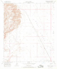
1956 Map of Plaster City NW
USGS Topo · Published 1968About this map
The Fish Creek Mountains dominate the western portion of this mid-century survey, where the rugged terrain transitions abruptly into the broad expanse of the West Mesa. This arid landscape is marked by the complex drainage of Carrizo Wash and its associated canyons, illustrating a desert environment shaped by seasonal water flow and limited human encroachment. Settlement is nearly non-existent, centered only on the locality of Barrett near the mountain foothills.
Find a feature on this map
11 named features on this map. Tap any name to fly to it.
Don’t see what you’re looking for? This feature index may not catch every label — zoom into the map to look around manually.
Map Details
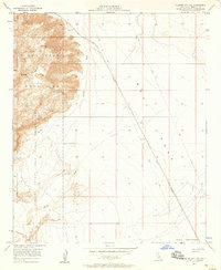
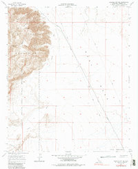
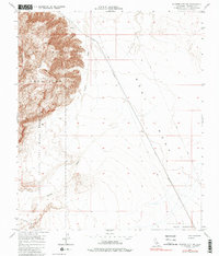
Editions of this 1956 Plaster City NW Map
4 editions found
Other maps of this area

1915 · El Centro
USGS Topo · 1:125,000

1931 · Vallecito
USGS Topo · 1:125,000

1931 · Carrizo
USGS Topo · 1:125,000

1940 · Kane Spring
USGS Topo · 1:62,500

1940 · Plaster City
USGS Topo · 1:62,500

1942 · Barrel Spring
USGS Topo · 1:62,500

1942 · El Centro
USGS Topo · 1:250,000

1942 · Carrizo Mtn
USGS Topo · 1:62,500

1943 · Vallecito
USGS Topo · 1:125,000

1944 · Plaster City
USGS Topo · 1:62,500