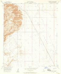
1956 Map of Plaster City NW
USGS Topo · Published 1958About this map
The Fish Creek Mountains dominate the western horizon of this 1950s Imperial County landscape, where the steep desert topography meets the vast expanse of the West Mesa. This transition from high peaks to alluvial plains is defined by the broad Carrizo Wash, which drains the canyon systems toward the southeast. The map reveals a region heavily utilized for military and industrial purposes during the mid-century, most notably by the Carrizo Naval Impact Area Reservation and a separate Naval Reservation further south.
Find a feature on this map
13 named features on this map. Tap any name to fly to it.
Don’t see what you’re looking for? This feature index may not catch every label — zoom into the map to look around manually.
Map Details
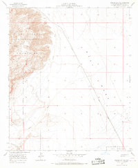
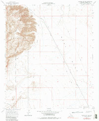
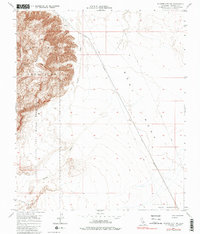
Editions of this 1956 Plaster City NW Map
4 editions found
Other maps of this area

1915 · El Centro
USGS Topo · 1:125,000

1931 · Vallecito
USGS Topo · 1:125,000

1931 · Carrizo
USGS Topo · 1:125,000

1940 · Kane Spring
USGS Topo · 1:62,500

1940 · Plaster City
USGS Topo · 1:62,500

1942 · Barrel Spring
USGS Topo · 1:62,500

1942 · El Centro
USGS Topo · 1:250,000

1942 · Carrizo Mtn
USGS Topo · 1:62,500

1943 · Vallecito
USGS Topo · 1:125,000

1944 · Plaster City
USGS Topo · 1:62,500