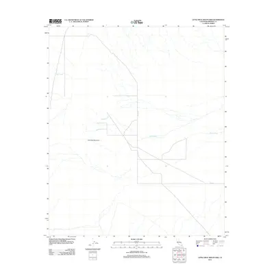
2012 Map of Little Mule Mountains
USGS Topo · Published 2012About this map
The Little Mule Mountains define the central topography of this Imperial County desert landscape, where seasonal water drainage patterns dictate the layout of the terrain. Dominating the eastern portion of the sheet, the Milpitas Wash serves as the primary hydrological artery, collecting numerous unnamed tributaries from the surrounding slopes. On the opposite side of the range, the Arroyo Seco cuts through the western flats. Human infrastructure is minimal, represented by isolated desert routes such as Skyline Dr and Dietz Rd. This 2012 survey illustrates a largely undeveloped expanse of the California desert, where the natural contours and dry washes remain the most prominent features of the land, providing a clear view of the arid geography before further modern encroachment.
Find a feature on this map
5 named features on this map. Tap any name to fly to it.
Don’t see what you’re looking for? This feature index may not catch every label — zoom into the map to look around manually.
Map Details
Editions of this 2012 Little Mule Mountains Map
This is the sole edition of this map. No revisions or reprints were ever made.
Other maps of this area

1942 · Blythe
USGS Topo · 1:250,000

1953 · Palo Verde Mountains
USGS Topo · 1:62,500

1953 · Quartz Peak
USGS Topo · 1:62,500

1953 · Chuckwalla Spring
USGS Topo · 1:62,500

1953 · Acolita
USGS Topo · 1:62,500

1954 · Salton Sea
USGS Topo · 1:250,000

1955 · Salton Sea
USGS Topo · 1:250,000

1959 · Salton Sea
USGS Topo · 1:250,000

1963 · Salton Sea
USGS Topo · 1:250,000

1965 · Salton Sea
USGS Topo · 1:250,000