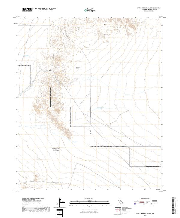
2021 Map of Little Mule Mountains
USGS Topo · Published 2021About this map
The Little Mule Mountains dominate this arid landscape in Imperial County, where steep terrain meets the broad drainage of Smoketree Valley. This 2021 topographic record reveals a region defined by complex desert landforms and seasonal watercourses, including the westward-flowing Arroyo Seco and the prominent Milpitas Wash to the south. The elevation rises toward the northern boundary with the dark, dissected ridges of the Black Hills, while the isolated peak of Blue Mtn stands out along the southern margin.
Find a feature on this map
14 named features on this map. Tap any name to fly to it.
Don’t see what you’re looking for? This feature index may not catch every label — zoom into the map to look around manually.
Map Details
Editions of this 2021 Little Mule Mountains Map
This is the sole edition of this map. No revisions or reprints were ever made.
Other maps of this area

1942 · Blythe
USGS Topo · 1:250,000

1953 · Palo Verde Mountains
USGS Topo · 1:62,500

1953 · Quartz Peak
USGS Topo · 1:62,500

1953 · Chuckwalla Spring
USGS Topo · 1:62,500

1953 · Acolita
USGS Topo · 1:62,500

1954 · Salton Sea
USGS Topo · 1:250,000

1955 · Salton Sea
USGS Topo · 1:250,000

1959 · Salton Sea
USGS Topo · 1:250,000

1963 · Salton Sea
USGS Topo · 1:250,000

1965 · Salton Sea
USGS Topo · 1:250,000