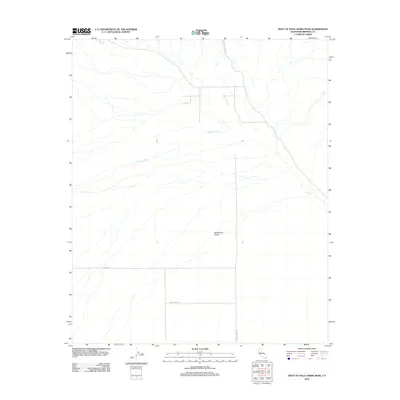
2012 Map of West of Palo Verde Peak
USGS Topo · Published 2012About this map
Milpitas Wash defines the drainage of this arid Imperial County landscape, carving through the expansive Smoketree Valley. The area is characterized by a network of intermittent desert washes and a sparse infrastructure of unpaved desert tracks. Remote access to the region is provided by Milpitas Wash Rd and Midway Well Rd, which connect these alluvial plains to the broader California desert. The map captures the quiet isolation of the valley, where only a few named routes like Dietz Rd and Smoke Tree Ln mark human presence among the complex natural drainages.
Find a feature on this map
6 named features on this map. Tap any name to fly to it.
Don’t see what you’re looking for? This feature index may not catch every label — zoom into the map to look around manually.
Map Details
Editions of this 2012 West of Palo Verde Peak Map
This is the sole edition of this map. No revisions or reprints were ever made.
Other maps of this area

1942 · Blythe
USGS Topo · 1:250,000

1953 · Palo Verde Mountains
USGS Topo · 1:62,500

1953 · Quartz Peak
USGS Topo · 1:62,500

1953 · Chuckwalla Spring
USGS Topo · 1:62,500

1953 · Acolita
USGS Topo · 1:62,500

1954 · Salton Sea
USGS Topo · 1:250,000

1955 · Salton Sea
USGS Topo · 1:250,000

1959 · Salton Sea
USGS Topo · 1:250,000

1963 · Salton Sea
USGS Topo · 1:250,000

1965 · Salton Sea
USGS Topo · 1:250,000