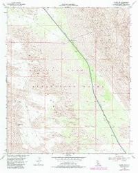
1954 Map of Glamis NW
USGS Topo · Published 1979About this map
The Coachella Canal cuts a distinct industrial line through the arid landscape of Imperial County, serving as a vital artery for desert water management. This 1979 photorevision of a mid-century survey illustrates the engineering required to move water across the East Mesa, protected by a continuous Levee and monitored at the Gaging Sta. The map highlights the intersection of utility and leisure, as the infrastructure of the canal borders the extensive Imperial Sand Dunes Recreation Lands.
Find a feature on this map
15 named features on this map. Tap any name to fly to it.
Don’t see what you’re looking for? This feature index may not catch every label — zoom into the map to look around manually.
Map Details
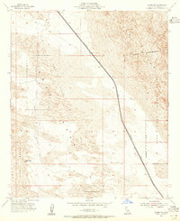
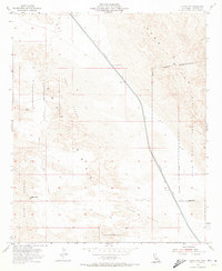
Editions of this 1954 Glamis NW Map
3 editions found
Other maps of this area

1907 · Holtville
USGS Topo · 1:125,000

1940 · Iris
USGS Topo · 1:62,500

1940 · Alamorio
USGS Topo · 1:62,500

1942 · El Centro
USGS Topo · 1:250,000

1945 · Alamorio
USGS Topo · 1:62,500

1945 · Iris
USGS Topo · 1:62,500

1953 · Acolita
USGS Topo · 1:24,000

1953 · Acolita
USGS Topo · 1:62,500

1954 · El Centro
USGS Topo · 1:250,000

1954 · Salton Sea
USGS Topo · 1:250,000