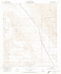
1954 Map of Glamis NW
USGS Topo · Published 1973About this map
The Coachella Canal cuts a stark, engineered line through the desert landscape of Imperial County, flanked by a protective Levee as it carries water through the arid terrain. To the east and west, the natural environment is dominated by extensive Sand Dunes and the prominent rise of Deer Peak. This mid-century survey illustrates the heavy military footprint in the region, with vast stretches of land designated as a Naval Reservation and the nearby Chocolate Mountains Impact Area Range.
Find a feature on this map
12 named features on this map. Tap any name to fly to it.
Don’t see what you’re looking for? This feature index may not catch every label — zoom into the map to look around manually.
Map Details
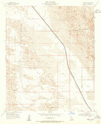
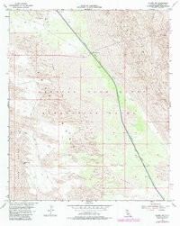
Editions of this 1954 Glamis NW Map
3 editions found
Other maps of this area

1907 · Holtville
USGS Topo · 1:125,000

1940 · Iris
USGS Topo · 1:62,500

1940 · Alamorio
USGS Topo · 1:62,500

1942 · El Centro
USGS Topo · 1:250,000

1945 · Alamorio
USGS Topo · 1:62,500

1945 · Iris
USGS Topo · 1:62,500

1953 · Acolita
USGS Topo · 1:24,000

1953 · Acolita
USGS Topo · 1:62,500

1954 · El Centro
USGS Topo · 1:250,000

1954 · Salton Sea
USGS Topo · 1:250,000