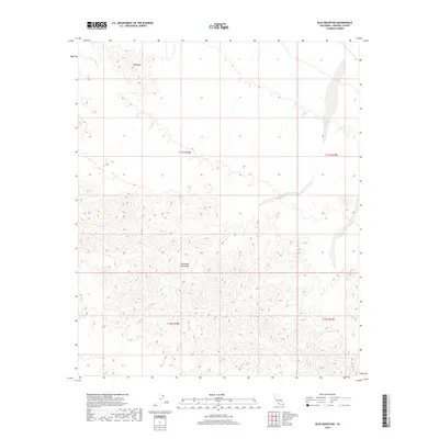
2018 Map of Blue Mountain
USGS Topo · Published 2018About this map
The Chocolate Mountains dominate this arid landscape in Imperial County, offering a detailed topographical study of the region's complex ridge systems and desert washes. Rising distinctly in the northern portion of the survey area, Blue Mtn stands as a primary landmark amid the shifting elevations of the range. The map clearly delineates the cadastral grid through township and range markers, including t11s r18e, t11s r19e, t12s r18e, and t12s r19e, which provide essential reference points for land ownership and historical boundaries in this remote desert interior. The drainage patterns and contour intervals illustrate the natural watercourses that define the terrain of the Chocolate Mountains before they descend toward the surrounding basin floors.
Find a feature on this map
6 named features on this map. Tap any name to fly to it.
Don’t see what you’re looking for? This feature index may not catch every label — zoom into the map to look around manually.
Map Details
Editions of this 2018 Blue Mountain Map
This is the sole edition of this map. No revisions or reprints were ever made.
Other maps of this area

1942 · Blythe
USGS Topo · 1:250,000

1953 · Palo Verde Mountains
USGS Topo · 1:62,500

1953 · Quartz Peak
USGS Topo · 1:62,500

1953 · Acolita
USGS Topo · 1:24,000

1953 · Chuckwalla Spring
USGS Topo · 1:62,500

1953 · Acolita
USGS Topo · 1:62,500

1954 · Salton Sea
USGS Topo · 1:250,000

1955 · Salton Sea
USGS Topo · 1:250,000

1959 · Salton Sea
USGS Topo · 1:250,000

1963 · Salton Sea
USGS Topo · 1:250,000