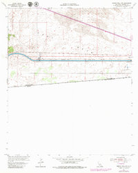
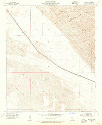
1954 Map of Midway Well NW
USGS Topo · Published 1979About this map
East Mesa dominates this landscape along the international border, defined by the engineering feat of the All American Canal. The canal cuts through the arid terrain, supported by infrastructure like Power Drop No 5 and a prominent Water Tank. This survey reflects mid-century agricultural experimentation in the Imperial Valley, evidenced by the presence of Experimental Farm No 1 situated north of the border between the United States and Mexico. The transition from the canal's managed water flow to the shifting Sand Dunes in the northeast illustrates the sharp contrast between human irrigation efforts and the natural desert environment. Historical researchers can trace the path of a Jeep Trail winding through the scrubland, marking the sparse transit routes in this borderland during the 1950s.
Find a feature on this map
10 named features on this map. Tap any name to fly to it.
Don’t see what you’re looking for? This feature index may not catch every label — zoom into the map to look around manually.
Map Details
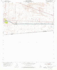
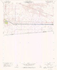
Editions of this 1954 Midway Well NW Map
4 editions found
Other maps of this area

1907 · Holtville
USGS Topo · 1:125,000

1940 · Alamorio
USGS Topo · 1:62,500

1940 · Calexico
USGS Topo · 1:62,500

1942 · El Centro
USGS Topo · 1:250,000

1943 · Calexico
USGS Topo · 1:62,500

1945 · Alamorio
USGS Topo · 1:62,500
1953 · Calexico
USGS Topo · 1:50,000

1954 · El Centro
USGS Topo · 1:250,000

1954 · Midway Well NW
USGS Topo · 1:24,000
1954 · Glamis SE
USGS Topo · 1:24,000