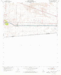
1954 Map of Midway Well NW
USGS Topo · Published 1959About this map
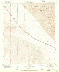
All American Canal cuts a rigid horizontal path across the arid landscape of the East Mesa, representing a critical piece of mid-century hydraulic engineering near the international border. This 1954 field-checked survey reveals the industrial infrastructure required to manage water in the Imperial Valley, including Power Drop No 4 and Power Drop No 3. North of the canal, the terrain is dominated by migrating Sand Dunes, while the southern portion shows early agricultural testing at Experimental Farm No 1. The map documents the precise boundary between the United States Mexico and California Baja California, marked by a series of bench marks and a lone Jeep Trail that skirts the southern desert floor. The presence of a Water Tank near the power drops highlights the isolated outposts of utility workers who maintained this desert lifeline.
Find a feature on this map
25 named features on this map. Tap any name to fly to it.
Don’t see what you’re looking for? This feature index may not catch every label — zoom into the map to look around manually.
Map Details
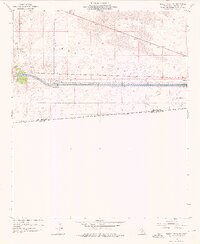
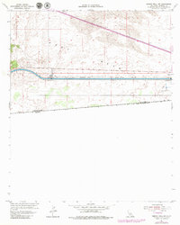
Editions of this 1954 Midway Well NW Map
4 editions found
Other maps of this area

1907 · Holtville
USGS Topo · 1:125,000

1940 · Alamorio
USGS Topo · 1:62,500

1940 · Calexico
USGS Topo · 1:62,500

1942 · El Centro
USGS Topo · 1:250,000

1943 · Calexico
USGS Topo · 1:62,500

1945 · Alamorio
USGS Topo · 1:62,500
1953 · Calexico
USGS Topo · 1:50,000

1954 · El Centro
USGS Topo · 1:250,000

1954 · Midway Well NW
USGS Topo · 1:24,000
1954 · Glamis SE
USGS Topo · 1:24,000