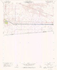
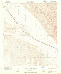
1954 Map of Midway Well NW
USGS Topo · Published 1976About this map
The All American Canal cuts a definitive line across the arid landscape of East Mesa, representing a massive engineering effort to bring water to the Imperial Valley. This survey shows the infrastructure of the mid-1950s, including Power Drop No 4 and Power Drop No 3, which utilized the canal's gradient for hydroelectric generation. To the north, the shifting topography of the Sand Dunes contrasts with the strictly managed water systems below. Evidence of agricultural research appears in the southeastern corner at Experimental Farm No 1, positioned near a Jeep Trail. The map also captures the international boundary where California Baja California meets, illustrating the stark transition from desert mesa to the managed agricultural and utility corridors along the United States Mexico border.
Find a feature on this map
14 named features on this map. Tap any name to fly to it.
Don’t see what you’re looking for? This feature index may not catch every label — zoom into the map to look around manually.
Map Details
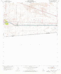
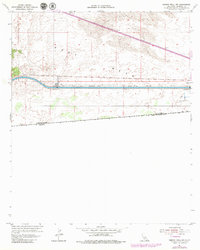
Editions of this 1954 Midway Well NW Map
4 editions found
Other maps of this area

1907 · Holtville
USGS Topo · 1:125,000

1940 · Alamorio
USGS Topo · 1:62,500

1940 · Calexico
USGS Topo · 1:62,500

1942 · El Centro
USGS Topo · 1:250,000

1943 · Calexico
USGS Topo · 1:62,500

1945 · Alamorio
USGS Topo · 1:62,500
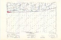
1953 · Calexico
USGS Topo · 1:50,000

1954 · El Centro
USGS Topo · 1:250,000

1954 · Midway Well NW
USGS Topo · 1:24,000
1954 · Glamis SE
USGS Topo · 1:24,000