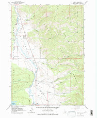
1963 Map of Obsidian
USGS Topo · Published 1975About this map
The Salmon River defines the landscape of the Sawtooth Valley in the early 1960s, winding through a high-altitude corridor between the Sawtooth Mountains and the bordering National Forests. The small settlement of Obsidian serves as a central point along the valley road, flanked by the Idaho Rocky Mtn Ranch to the north and the Sawtooth Valley Ranger Station to the south. This era shows a transition from traditional land use toward mountain recreation, evident in the presence of the Bull Moose Campground and numerous designated wilderness trails.
Find a feature on this map
37 named features on this map. Tap any name to fly to it.
Don’t see what you’re looking for? This feature index may not catch every label — zoom into the map to look around manually.
Map Details
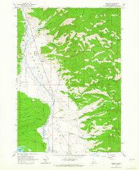
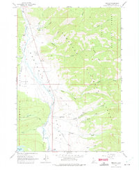
Editions of this 1963 Obsidian Map
3 editions found
Other maps of this area

1900 · Sawtooth
USGS Topo · 1:125,000

1919 · Custer
USGS Topo · 1:125,000

1922 · Custer
USGS Topo · 1:125,000

1955 · Hailey
USGS Topo · 1:250,000

1957 · Challis
USGS Topo · 1:250,000

1959 · Hailey
USGS Topo · 1:250,000

1960 · Challis
USGS Topo · 1:250,000

1962 · Hailey
USGS Topo · 1:250,000

1963 · Challis
USGS Topo · 1:250,000

1963 · Mt Cramer
USGS Topo · 1:24,000