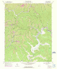
1968 Map of Oceana
USGS Topo · Published 1990About this map
Oceana sits at the eastern edge of this landscape where the Clear Fork and Laurel Fork meet, serving as a focal point for the coal-rich valleys of southern West Virginia. The terrain is dominated by the steep ridges of Huff Mountain, where an extensive network of Gas Wells, Mines, and Strip Mines illustrates the intensive resource extraction that shaped the local economy and settlement patterns during the late 1960s. Transport infrastructure follows the winding watercourses, notably the Norfolk and Western railroad line which threads through the valleys to serve industrial sites like the Tipple and Conveyor operations.
Find a feature on this map
72 named features on this map. Tap any name to fly to it.
Don’t see what you’re looking for? This feature index may not catch every label — zoom into the map to look around manually.
Map Details
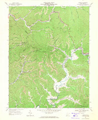
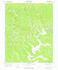
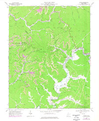
Editions of this 1968 Oceana Map
4 editions found
Other maps of this area

1891 · Oceana
USGS Topo · 1:125,000

1893 · Oceana
USGS Topo · 1:125,000

1898 · Oceana
USGS Topo · 1:125,000

1909 · Gilbert
USGS Topo · 1:48,000

1910 · Pineville
USGS Topo · 1:48,000

1910 · Bald Knob
USGS Topo · 1:48,000

1912 · Bald Knob
USGS Topo · 1:62,500

1912 · Gilbert
USGS Topo · 1:62,500

1912 · Pineville
USGS Topo · 1:62,500

1913 · Logan
USGS Topo · 1:62,500