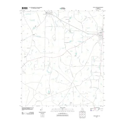
2011 Map of Ocilla West
USGS Topo · Published 2011About this map
Mystic and the rural outskirts of Ocilla anchor this 2011 survey of Irwin County, where agricultural land is partitioned by a network of local routes like Cottonwood Rd and Valley Grove Church Rd. The landscape is defined by an intricate hydrology of small dams and named impoundments, including Turk Lake North, Gray Lake, and Bettie Lake, which feed the drainages of Reedy Creek and Little Creek. For genealogists, the map is particularly detailed regarding local burial grounds, plotting the Mystic Cemetery, Evertt Cemetery, and Paulls Cemetery among others. The presence of the Mystic Post Office and Ocilla Post Office helps pinpoint the civic centers of these south Georgia communities at the start of the decade.
Find a feature on this map
71 named features on this map. Tap any name to fly to it.
Don’t see what you’re looking for? This feature index may not catch every label — zoom into the map to look around manually.
Map Details
Editions of this 2011 Ocilla West Map
This is the sole edition of this map. No revisions or reprints were ever made.
Other maps of this area

1953 · Waycross
USGS Topo · 1:250,000

1958 · Waycross
USGS Topo · 1:250,000

1972 · Fitzgerald East
USGS Topo · 1:24,000

1972 · Ocilla East
USGS Topo · 1:24,000

1973 · Ocilla West
USGS Topo · 1:24,000

1973 · Waterloo
USGS Topo · 1:24,000

1973 · Irwinville
USGS Topo · 1:24,000

1973 · Enigma
USGS Topo · 1:24,000

1973 · Tifton East
USGS Topo · 1:24,000

1973 · Fitzgerald West
USGS Topo · 1:24,000