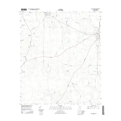
2014 Map of Ocilla West
USGS Topo · Published 2014About this map
Mystic and Pinetta anchor this portion of Irwin County, where a dense network of local roads such as Bugle Lane Rd and Five Bridges Rd connect scattered farmsteads and rural landmarks. The landscape is defined by the headwaters of several drainages, including Reedy Creek and Jack Creek, which feed into numerous small bodies of water like Lake Bettie and Turk Lake N. Genealogists will find this particular survey especially useful for its clear marking of family and community burial grounds, including Evertt Cemetery, Piney Grove Cemetery, and New Valley Grove Cemetery. The eastern edge of the map shows the western expansion of Ocilla, where the grid of city streets meets the surrounding agricultural landscape along the Mystic Highway.
Find a feature on this map
88 named features on this map. Tap any name to fly to it.
Don’t see what you’re looking for? This feature index may not catch every label — zoom into the map to look around manually.
Map Details
Editions of this 2014 Ocilla West Map
This is the sole edition of this map. No revisions or reprints were ever made.
Other maps of this area

1953 · Waycross
USGS Topo · 1:250,000

1958 · Waycross
USGS Topo · 1:250,000

1972 · Fitzgerald East
USGS Topo · 1:24,000

1972 · Ocilla East
USGS Topo · 1:24,000

1973 · Ocilla West
USGS Topo · 1:24,000

1973 · Waterloo
USGS Topo · 1:24,000

1973 · Irwinville
USGS Topo · 1:24,000

1973 · Enigma
USGS Topo · 1:24,000

1973 · Tifton East
USGS Topo · 1:24,000

1973 · Fitzgerald West
USGS Topo · 1:24,000