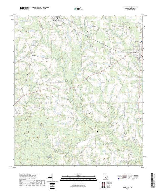
2024 Map of Ocilla West
USGS Topo · Published 2024About this map
The Irwin County Courthouse serves as the focal point for this rural landscape in south-central Georgia, where the small community of Ocilla sits at the eastern edge of the survey. The terrain is defined by a dense network of blackwater drainages, including Reedy Creek, Little Creek, and Mill Creek, which meander through pine-heavy lowlands toward Stump Creek. For local historians and genealogists, the map is particularly valuable for its documentation of numerous rural burial grounds and places of worship, such as Old Valley Grove Cem and the Mystic Baptist Church Cem near the town of Mystic. The transition from the more settled eastern corridor of Ocilla to the western crossroads of Pinetta reveals a landscape dominated by agricultural timber tracts and isolated ponds like Bussell Pond and Lake Bettie, reflecting the enduring rural character of Irwin County in the 21st century.
Find a feature on this map
93 named features on this map. Tap any name to fly to it.
Don’t see what you’re looking for? This feature index may not catch every label — zoom into the map to look around manually.
Map Details
Editions of this 2024 Ocilla West Map
This is the sole edition of this map. No revisions or reprints were ever made.
Other maps of this area

1953 · Waycross
USGS Topo · 1:250,000

1958 · Waycross
USGS Topo · 1:250,000

1972 · Fitzgerald East
USGS Topo · 1:24,000

1972 · Ocilla East
USGS Topo · 1:24,000

1973 · Ocilla West
USGS Topo · 1:24,000

1973 · Waterloo
USGS Topo · 1:24,000

1973 · Irwinville
USGS Topo · 1:24,000

1973 · Enigma
USGS Topo · 1:24,000

1973 · Tifton East
USGS Topo · 1:24,000

1973 · Fitzgerald West
USGS Topo · 1:24,000