2021 Map of Oconto
USGS Topo · Published 2021About this map
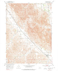
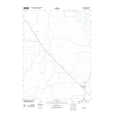
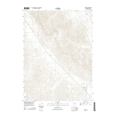
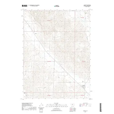
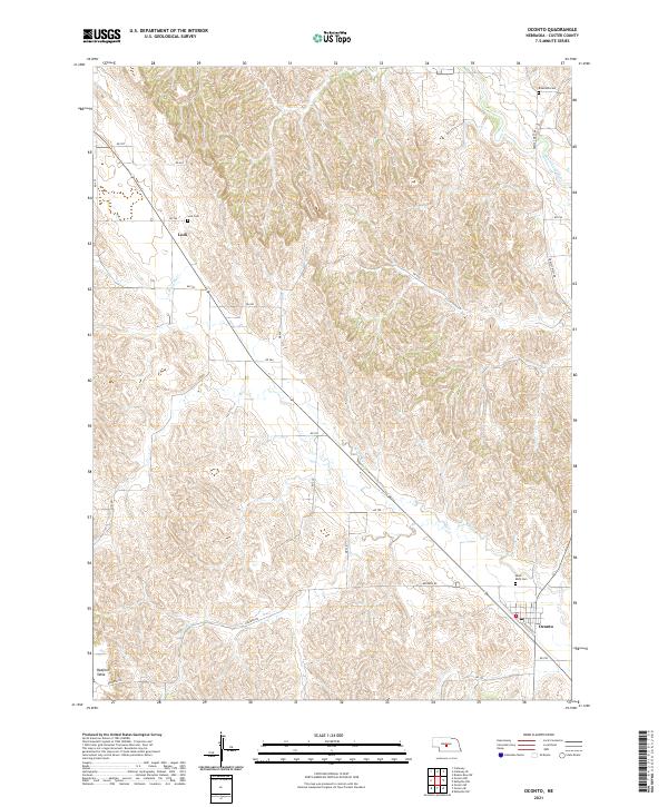
Oconto and the small settlement of Lodi anchor this Custer County landscape, where the flat upland of Redfern Table gives way to the drainage of the Wood River. The map captures a classic Nebraska rural infrastructure, dominated by a grid of section-line roads such as Redfern Rd and Lodi Rd that navigate the varied topography. Genealogy and local history are particularly well-represented through three distinct burial grounds: Saint Mary Cem near Oconto, Riverside Cem in the northeast, and the small Lodi Cem.
Find a feature on this map
33 named features on this map. Tap any name to fly to it.
Don’t see what you’re looking for? This feature index may not catch every label — zoom into the map to look around manually.
Map Details
Editions of this 2021 Oconto Map
This is the sole edition of this map. No revisions or reprints were ever made.
Historical Maps of Oconto Through Time
5 maps found