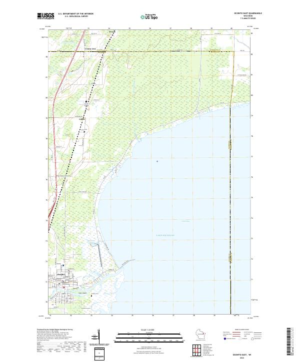
2022 Map of Oconto East
USGS Topo · Published 2022About this map
The Oconto River meets the waters of Lake Michigan at the city of Oconto in this modern topographical study. The landscape is defined by the low-lying wetland interfaces of Green Bay, where geographic features like Ajax Island and Labbie's Slough illustrate the intricate shoreline of the western bay. As the county seat, Oconto is meticulously detailed, showing the Oconto County Courthouse and a grid of residential streets including Madison St and Jefferson St.
Find a feature on this map
59 named features on this map. Tap any name to fly to it.
Don’t see what you’re looking for? This feature index may not catch every label — zoom into the map to look around manually.
Map Details
Editions of this 2022 Oconto East Map
This is the sole edition of this map. No revisions or reprints were ever made.
Other maps of this area

1939 · Marinette
USGS Topo · 1:48,000

1939 · Porterfield
USGS Topo · 1:48,000

1942 · Porterfield
USGS Topo · 1:48,000

1954 · Escanaba
USGS Topo · 1:250,000

1954 · Manitowoc
USGS Topo · 1:250,000

1956 · Oconto
USGS Topo · 1:62,500

1957 · Escanaba
USGS Topo · 1:250,000

1958 · Escanaba
USGS Topo · 1:250,000

1958 · Manitowoc
USGS Topo · 1:250,000

1961 · Little Sturgeon
USGS Topo · 1:62,500