
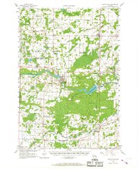
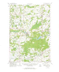
1956 Map of Oconto Falls
USGS Topo · Published 1958About this map
The Oconto River serves as the central artery of this mid-century Wisconsin landscape, carving a path through the townships of Spruce, Lena, and Morgan. The city of Oconto Falls stands as the primary hub, where the river's North Branch joins the main stem near the Flats Recreation Area. This era shows a dense network of rural infrastructure, including an unusually high concentration of country schools such as Oak Sch, Sunshine Sch, and the Meadow Brook Sch, which was already noted as abandoned by the mid-1950s.
Find a feature on this map
73 named features on this map. Tap any name to fly to it.
Don’t see what you’re looking for? This feature index may not catch every label — zoom into the map to look around manually.
Map Details
Editions of this 1956 Oconto Falls Map
3 editions found
Other maps of this area

1939 · Porterfield
USGS Topo · 1:48,000

1941 · Coleman
USGS Topo · 1:48,000

1942 · Coleman
USGS Topo · 1:48,000

1942 · Breed
USGS Topo · 1:48,000

1942 · Porterfield
USGS Topo · 1:48,000

1950 · Coleman
USGS Topo · 1:48,000

1952 · Mountain
USGS Topo · 1:48,000

1954 · New Franken
USGS Topo · 1:62,500

1954 · Iron Mountain
USGS Topo · 1:250,000

1954 · Escanaba
USGS Topo · 1:250,000