
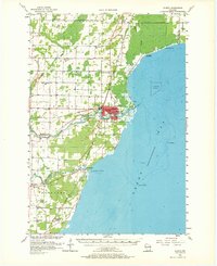
1956 Map of Oconto
USGS Topo · Published 1957About this map
The Oconto riverfront and the western shoreline of Green Bay anchor this mid-century survey of coastal Oconto County. The city itself is the primary hub of activity, where the Oconto and Pensaukee River empty into the bay. The landscape is notably defined by an exceptionally dense network of local rural schools, including Victory Sch, LaFollette Sch, McDowell Sch, and Couillardville Sch, reflecting a era of localized community education before widespread consolidation.
Find a feature on this map
39 named features on this map. Tap any name to fly to it.
Don’t see what you’re looking for? This feature index may not catch every label — zoom into the map to look around manually.
Map Details
Editions of this 1956 Oconto Map
2 editions found
Other maps of this area

1939 · Marinette
USGS Topo · 1:48,000

1939 · Porterfield
USGS Topo · 1:48,000

1941 · Coleman
USGS Topo · 1:48,000

1942 · Coleman
USGS Topo · 1:48,000

1942 · Porterfield
USGS Topo · 1:48,000

1950 · Coleman
USGS Topo · 1:48,000

1952 · Casco
USGS Topo · 1:62,500

1954 · New Franken
USGS Topo · 1:62,500

1954 · Iron Mountain
USGS Topo · 1:250,000

1954 · Escanaba
USGS Topo · 1:250,000