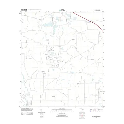
2012 Map of Octahatchee
USGS Topo · Published 2012About this map
Lake Octahatchee and the meandering Withlacoochee River define this rural landscape on the Florida-Georgia border during the early 21st century. The map centers on the small settlement of Octahatchee, where a grid of modern residential streets and loops, such as NW 21st Cir and NW 34th Blvd, has begun to expand around the lake. This development contrasts with the surrounding agricultural and wooded tracts that remain largely defined by county roads like Co Rd 152 and Co Rd 145.
Find a feature on this map
82 named features on this map. Tap any name to fly to it.
Don’t see what you’re looking for? This feature index may not catch every label — zoom into the map to look around manually.
Map Details
Editions of this 2012 Octahatchee Map
This is the sole edition of this map. No revisions or reprints were ever made.
Other maps of this area

1954 · Valdosta
USGS Topo · 1:250,000

1956 · Clyattville
USGS Topo · 1:24,000

1956 · Jennings
USGS Topo · 1:24,000

1956 · Octahatchee
USGS Topo · 1:24,000

1958 · Valdosta
USGS Topo · 1:250,000

1958 · Fort Union
USGS Topo · 1:24,000

1958 · Lee
USGS Topo · 1:24,000

1959 · Valdosta
USGS Topo · 1:250,000

1959 · Ellaville
USGS Topo · 1:24,000

1960 · Pinetta
USGS Topo · 1:24,000