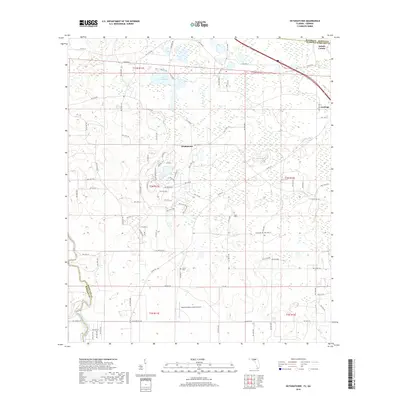
2018 Map of Octahatchee
USGS Topo · Published 2018About this map
The Withlacoochee River carves the southwestern boundary of this Florida-Georgia borderlands region, where the terrain is defined by a complex network of wetlands and small lakes. Central to the landscape is Lake Octahatchee, a focal point for the small community of Octahatchee. The map reveals a rural economy shaped by aviation and land management, centered around the Squires Aviation Ranch Airport.
Find a feature on this map
93 named features on this map. Tap any name to fly to it.
Don’t see what you’re looking for? This feature index may not catch every label — zoom into the map to look around manually.
Map Details
Editions of this 2018 Octahatchee Map
This is the sole edition of this map. No revisions or reprints were ever made.
Other maps of this area

1954 · Valdosta
USGS Topo · 1:250,000

1956 · Clyattville
USGS Topo · 1:24,000

1956 · Jennings
USGS Topo · 1:24,000

1956 · Octahatchee
USGS Topo · 1:24,000

1958 · Valdosta
USGS Topo · 1:250,000

1958 · Fort Union
USGS Topo · 1:24,000

1958 · Lee
USGS Topo · 1:24,000

1959 · Valdosta
USGS Topo · 1:250,000

1959 · Ellaville
USGS Topo · 1:24,000

1960 · Pinetta
USGS Topo · 1:24,000