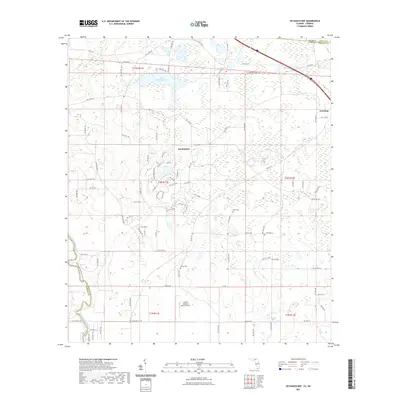
2021 Map of Octahatchee
USGS Topo · Published 2021About this map
Lake Octahatchee and its surrounding wetlands anchor this North Florida landscape on the border of Hamilton and Echols counties. The settlement of Octahatchee and the nearby town of Jennings sit amidst a network of rural roads such as Lake Park Rd and NW Co Rd 145, reflecting the agricultural and residential patterns of the early 21st century. The map provides specific locations for local history and genealogy, including Blair Cem and McCall Cem, which mark the presence of long-standing community roots. To the southwest, the Withlacoochee River carves a natural boundary between Hamilton and Madison counties, accompanied by the Withlacoochee River North Trl. This modern survey also documents the Squires Aviation Ranch Airport, illustrating how traditional land use integrates with more recent private aviation developments.
Find a feature on this map
91 named features on this map. Tap any name to fly to it.
Don’t see what you’re looking for? This feature index may not catch every label — zoom into the map to look around manually.
Map Details
Editions of this 2021 Octahatchee Map
This is the sole edition of this map. No revisions or reprints were ever made.
Other maps of this area

1954 · Valdosta
USGS Topo · 1:250,000

1956 · Clyattville
USGS Topo · 1:24,000

1956 · Jennings
USGS Topo · 1:24,000

1956 · Octahatchee
USGS Topo · 1:24,000

1958 · Valdosta
USGS Topo · 1:250,000

1958 · Fort Union
USGS Topo · 1:24,000

1958 · Lee
USGS Topo · 1:24,000

1959 · Valdosta
USGS Topo · 1:250,000

1959 · Ellaville
USGS Topo · 1:24,000

1960 · Pinetta
USGS Topo · 1:24,000