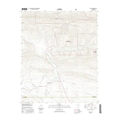
2016 Map of Octavia
USGS Topo · Published 2016About this map
Octavia sits at the junction of Octavia Rd and US Hwy 259 in southeastern Oklahoma, serving as a gateway to the high ridgelines of the Kiamichi Mountains. The settlement is defined by its proximity to the waters of Big Eagle Creek and Little Eagle Cr, which drain the surrounding slopes of the Ouachita National Forest. This 2016 survey illustrates the modern road network servicing the valley, including Cemetery Rd, which leads to the local Octavia Cem.
Find a feature on this map
35 named features on this map. Tap any name to fly to it.
Don’t see what you’re looking for? This feature index may not catch every label — zoom into the map to look around manually.
Map Details
Editions of this 2016 Octavia Map
This is the sole edition of this map. No revisions or reprints were ever made.
Other maps of this area
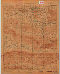
1900 · Winding Stair
USGS Topo · 1:125,000
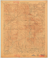
1902 · Lukfata
USGS Topo · 1:125,000
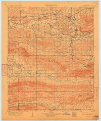
1909 · Winding Stair
USGS Topo · 1:125,000
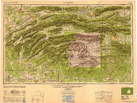
1950 · Mcalester
USGS Topo · 1:250,000
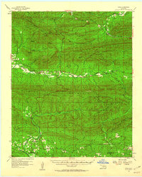
1959 · Page
USGS Topo · 1:62,500
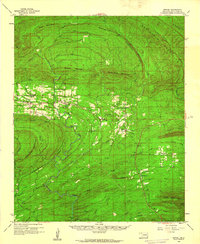
1960 · Bethel
USGS Topo · 1:62,500
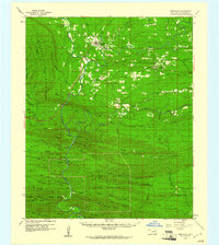
1960 · Smithville
USGS Topo · 1:62,500
1962 · McAlester
USGS Topo · 1:250,000
1965 · McAlester
USGS Topo · 1:250,000
1966 · Muse
USGS Topo · 1:24,000