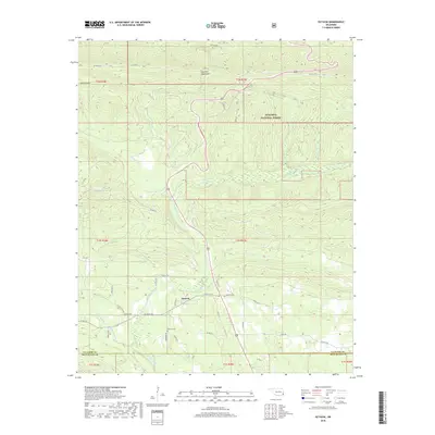
2018 Map of Octavia
USGS Topo · Published 2018About this map
The mountain settlement of Octavia sits along the southern edge of the Kiamichi Mountains, where the winding Big Eagle Creek meets a complex network of local county roads. This 2018 survey documents the geography of the Ouachita National Forest in southeastern Oklahoma, tracing the rugged divide between the Le Flore and McCurtain county lines. Family history researchers will find the Octavia Cem and the associated Cemetery Rd clearly marked just south of the main community center.
Find a feature on this map
40 named features on this map. Tap any name to fly to it.
Don’t see what you’re looking for? This feature index may not catch every label — zoom into the map to look around manually.
Map Details
Editions of this 2018 Octavia Map
This is the sole edition of this map. No revisions or reprints were ever made.
Other maps of this area
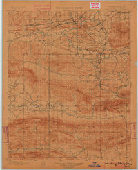
1900 · Winding Stair
USGS Topo · 1:125,000
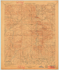
1902 · Lukfata
USGS Topo · 1:125,000
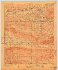
1909 · Winding Stair
USGS Topo · 1:125,000
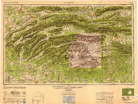
1950 · Mcalester
USGS Topo · 1:250,000
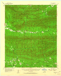
1959 · Page
USGS Topo · 1:62,500
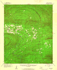
1960 · Bethel
USGS Topo · 1:62,500
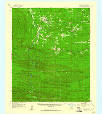
1960 · Smithville
USGS Topo · 1:62,500
1962 · McAlester
USGS Topo · 1:250,000
1965 · McAlester
USGS Topo · 1:250,000
1966 · Muse
USGS Topo · 1:24,000