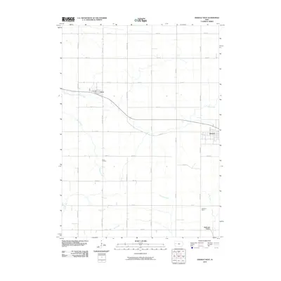
2010 Map of Odebolt West
USGS Topo · Published 2010About this map
Arthur and Odebolt anchor this 2010 survey of Sac County, capturing the grid-oriented landscape of western Iowa. The area is defined by a dense network of township roads and agricultural properties, including the established Wheelers Ranch and the southern point of Wall Lake Station. The local geography is etched by numerous watercourses that drain the farmland, most notably Odebolt Creek and the headwaters of the Soldier River. Local history is centered at the Arthur Post Office and the rural Hayes Cemetery, which stands along Hoskins Creek. The map illustrates a strictly managed prairie landscape where every section is accessible via named thoroughfares like Quail Ave and Country Hwy M31, reflecting a century of settled land use and the enduring structure of the region's rural economy.
Find a feature on this map
35 named features on this map. Tap any name to fly to it.
Don’t see what you’re looking for? This feature index may not catch every label — zoom into the map to look around manually.
Map Details
Editions of this 2010 Odebolt West Map
This is the sole edition of this map. No revisions or reprints were ever made.
Other maps of this area

1954 · Fort Dodge
USGS Topo · 1:250,000

1957 · Fort Dodge
USGS Topo · 1:250,000

1958 · Fort Dodge
USGS Topo · 1:250,000

1967 · Ida Grove
USGS Topo · 1:24,000

1967 · Ida Grove NW
USGS Topo · 1:24,000

1971 · Schleswig
USGS Topo · 1:24,000

1971 · Kiron
USGS Topo · 1:24,000

1980 · Odebolt East
USGS Topo · 1:24,000

1980 · Early
USGS Topo · 1:24,000

1980 · Boyer
USGS Topo · 1:24,000