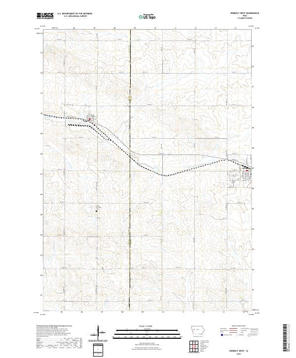
2022 Map of Odebolt West
USGS Topo · Published 2022About this map
The town of Odebolt sits at the eastern edge of this agricultural landscape, defined by a grid of rural roads and the drainage networks of the western prairie. To the west, the smaller settlement of Arthur is positioned near the headwaters of Odebolt Cr and Hoskins Cr. The region is a divide for several important waterways, with the Soldier River cutting across the southwestern corner while Otter Cr and Porter Cr drain toward the southeast. A central landmark for local genealogists and historians is the Hayes Township Cem, located south of Arthur. The map illustrates a highly organized township system, where county roads like Pioneer Ave and Buchanan Ave provide access to the vast farmsteads that have sustained the local economy for generations.
Find a feature on this map
51 named features on this map. Tap any name to fly to it.
Don’t see what you’re looking for? This feature index may not catch every label — zoom into the map to look around manually.
Map Details
Editions of this 2022 Odebolt West Map
This is the sole edition of this map. No revisions or reprints were ever made.
Other maps of this area

1954 · Fort Dodge
USGS Topo · 1:250,000

1957 · Fort Dodge
USGS Topo · 1:250,000

1958 · Fort Dodge
USGS Topo · 1:250,000

1967 · Ida Grove
USGS Topo · 1:24,000

1967 · Ida Grove NW
USGS Topo · 1:24,000

1971 · Schleswig
USGS Topo · 1:24,000

1971 · Kiron
USGS Topo · 1:24,000

1980 · Odebolt East
USGS Topo · 1:24,000

1980 · Early
USGS Topo · 1:24,000

1980 · Boyer
USGS Topo · 1:24,000