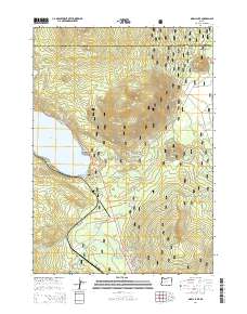
2014 Map of Odell Lake
USGS Topo · Published 2014About this map
Odell Lake and the northern tip of Crescent Lake dominate this high-elevation landscape within the Deschutes National Forest. The 2014 survey documents a region defined by its volcanic peaks and alpine waters, featuring the prominent Maiden Peak in the north and Royce Mtn to the south. Transportation and recreation corridors are clearly established, with the Pacific Crest National Scenic Trail traversing the western ridges and State Hwy 58 providing access along the lake shores. The presence of the Crescent Lake State Airport and numerous forest development roads, such as Nat For Dev Rd 4670, highlights the area's role as a hub for wilderness management and tourism. Smaller features like McCord Cabin Spring and N Rosary Lake offer points of interest for those tracing local geography and backcountry landmarks near the Deschutes and Klamath county line.
Find a feature on this map
49 named features on this map. Tap any name to fly to it.
Don’t see what you’re looking for? This feature index may not catch every label — zoom into the map to look around manually.
Map Details
Editions of this 2014 Odell Lake Map
This is the sole edition of this map. No revisions or reprints were ever made.
Other maps of this area

1917 · Diamond Lake
USGS Topo · 1:125,000

1925 · Waldo Lake
USGS Topo · 1:125,000

1930 · Maiden Peak
USGS Topo · 1:125,000

1934 · Maiden Peak
USGS Topo · 1:125,000

1935 · Chemult
USGS Topo · 1:96,000

1941 · Chemult
USGS Topo · 1:125,000

1955 · Crescent
USGS Topo · 1:250,000

1956 · Waldo Lake
USGS Topo · 1:62,500

1956 · Summit Lake
USGS Topo · 1:62,500

1957 · Crescent
USGS Topo · 1:250,000