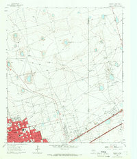
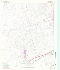
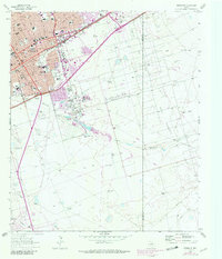
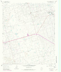
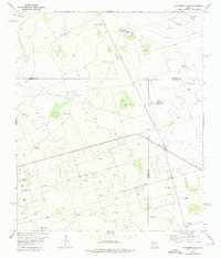
1964 Map of Odessa NE
USGS Topo · Published 1966This historical map portrays the area of Odessa NE in 1964, primarily covering Ector County as well as portions of Midland. Featuring a scale of 1:24000, this map provides a highly detailed snapshot of the terrain, roads, buildings, counties, and historical landmarks in the Odessa NE region at the time. Published in 1966, it is one of 4 known editions of this map due to revisions or reprints.
Find a feature on this map
39 named features on this map. Tap any name to fly to it.
Don’t see what you’re looking for? This feature index may not catch every label — zoom into the map to look around manually.
Map Details
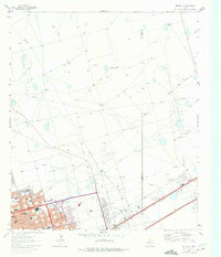
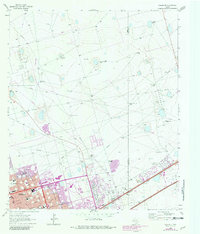
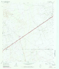
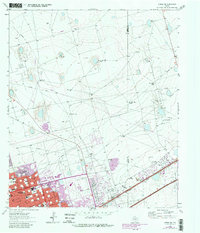
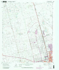
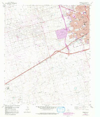
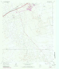
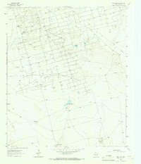
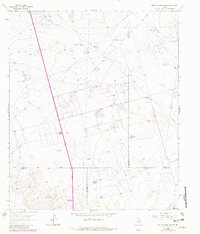
Editions of this 1964 Odessa NE Map
4 editions found
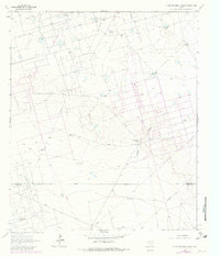
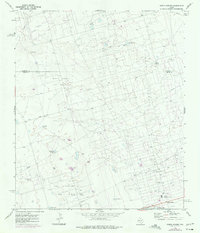
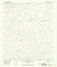
Historical Maps of Midland Through Time
14 maps found
1964 Clark Brothers Ranch
Ector County, TX
1964 Douro
Ector County, TX
1964 Metz
Ector County, TX
1964 Odessa NE
Ector County, TX
1964 Odessa NW
Ector County, TX
1964 Odessa SE
Ector County, TX
1964 Odessa SW
Ector County, TX
1964 Penwell
Ector County, TX
1964 Red Lakes
Ector County, TX
1964 Turnbaugh Corner
Ector County, TX
1965 South Cowden Ranch
Ector County, TX
1967 North Cowden
Ector County, TX
1968 Coyote Corner
Ector County, TX
1968 Hackberry Lake
Ector County, TX