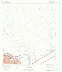
1964 Map of Odessa NE
USGS Topo · Published 1975About this map
Oil production dominates the West Texas landscape on the Ector and Midland county line during the mid-1960s. The sprawling Ratliff Oil Field, Headlee Oil Field, and Hallanan Oil Field are defined by a dense network of extraction infrastructure, including a prominent Refinery, numerous Oil Wells, and an extensive system of pipelines and an Aqueduct. In the northern stretches, the land maintains a ranching character, marked by family-named landmarks like North Cooksey and South Cooksey Windmills, alongside the Ratliff Ranch.
Find a feature on this map
65 named features on this map. Tap any name to fly to it.
Don’t see what you’re looking for? This feature index may not catch every label — zoom into the map to look around manually.
Map Details
Editions of this 1964 Odessa NE Map
4 editions found
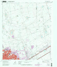
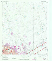
Other maps of this area

1954 · Hobbs
USGS Topo · 1:250,000

1954 · Pecos
USGS Topo · 1:250,000

1957 · Pecos
USGS Topo · 1:250,000

1958 · Hobbs
USGS Topo · 1:250,000

1964 · Odessa NE
USGS Topo · 1:24,000

1964 · Odessa SW
USGS Topo · 1:24,000

1964 · Odessa NW
USGS Topo · 1:24,000

1964 · Odessa SE
USGS Topo · 1:24,000

1964 · Parks
USGS Topo · 1:24,000

1965 · Southwest Midland
USGS Topo · 1:24,000