
1943 Map of Odessa
USGS Topo · Published 1957About this map
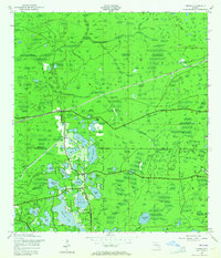
Odessa and the surrounding pine flatlands of the Florida Gulf Coast sat at a critical junction of the Atlantic Coast Line and the Seaboard Air Line Railway during the early 1940s. This survey, compiled from aerial photography, details a landscape defined by an intricate network of freshwater lakes and the winding course of the Anclote River. Small communities like Gulf Pine and Lake Fern appear as clusters of activity along the rail corridors, while the southern portion of the map is dominated by the sprawling Keystone Lake and smaller bodies such as Crescent Lake and Lake Hiawatha.
Find a feature on this map
35 named features on this map. Tap any name to fly to it.
Don’t see what you’re looking for? This feature index may not catch every label — zoom into the map to look around manually.
Map Details
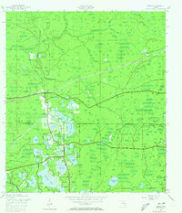
Editions of this 1943 Odessa Map
3 editions found
Other maps of this area

1943 · Elfers
USGS Topo · 1:24,000

1943 · Lutz
USGS Topo · 1:24,000

1943 · Oldsmar
USGS Topo · 1:24,000

1944 · Sulphur Springs
USGS Topo · 1:31,680

1944 · Elfers
USGS Topo · 1:31,680

1944 · Lutz
USGS Topo · 1:31,680

1944 · Oldsmar
USGS Topo · 1:31,680

1944 · Odessa
USGS Topo · 1:31,680

1945 · Sulphur Springs
USGS Topo · 1:31,680
1947 · Citrus Park
USGS Topo · 1:24,000