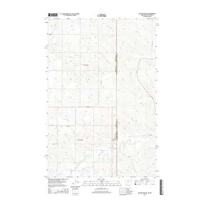
2014 Map of Odland Dam NE
USGS Topo · Published 2014About this map
Blue Mtn Cem stands as a solitary cultural marker in this high plains landscape along the border of North Dakota and Montana. The terrain is defined by the dendritic drainage patterns of Beaver Cr and its tributaries, such as Dry Cr, which carve through the undulating topography. This 2014 survey reveals a sparse network of section-line roads and ranch trails, including Divide Rd and Skaar Rd, that provide access to the vast interior of Golden Valley Co and Wibaux Co. The mapping of these ephemeral watercourses and local routes like W Bar Rd highlights the remote nature of the region, where land use is dictated by the rugged breaks and coulees of the Missouri Plateau.
Find a feature on this map
17 named features on this map. Tap any name to fly to it.
Don’t see what you’re looking for? This feature index may not catch every label — zoom into the map to look around manually.
Map Details
Editions of this 2014 Odland Dam NE Map
This is the sole edition of this map. No revisions or reprints were ever made.
Other maps of this area
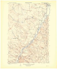
1909 · Glendive
USGS Topo · 1:250,000

1953 · Watford City
USGS Topo · 1:250,000

1954 · Glendive
USGS Topo · 1:250,000

1957 · Glendive
USGS Topo · 1:250,000

1957 · Watford City
USGS Topo · 1:250,000
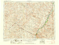
1958 · Glendive
USGS Topo · 1:250,000

1967 · Watford City
USGS Topo · 1:250,000
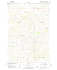
1974 · Hootowl Creek West
USGS Topo · 1:24,000
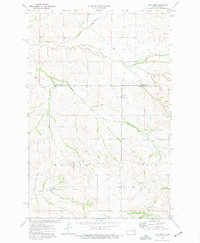
1974 · Trotters
USGS Topo · 1:24,000
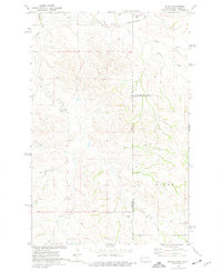
1974 · Skaar
USGS Topo · 1:24,000