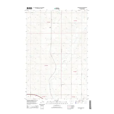
2014 Map of Odland Dam SW
USGS Topo · Published 2014About this map
Four Buttes rises as a prominent landmark in this eastern Montana landscape, situated within the drainage basins of several vital prairie waterways. The map details the winding course of Beaver Cr as it flows through the central portion of the quadrangle, joined by tributaries like Box Elder Cr and Hay Cr. This area of Wibaux County is defined by its extensive network of section-line roads and named rural routes, reflecting a ranching and agricultural economy where distance and access are fundamental to local life.
Find a feature on this map
27 named features on this map. Tap any name to fly to it.
Don’t see what you’re looking for? This feature index may not catch every label — zoom into the map to look around manually.
Map Details
Editions of this 2014 Odland Dam SW Map
This is the sole edition of this map. No revisions or reprints were ever made.
Other maps of this area

1909 · Glendive
USGS Topo · 1:250,000

1953 · Miles City
USGS Topo · 1:250,000

1954 · Glendive
USGS Topo · 1:250,000

1957 · Miles City
USGS Topo · 1:250,000

1957 · Glendive
USGS Topo · 1:250,000

1958 · Miles City
USGS Topo · 1:250,000

1958 · Glendive
USGS Topo · 1:250,000
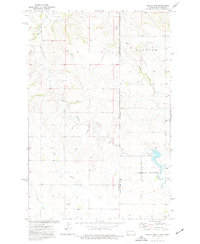
1974 · Odland Dam
USGS Topo · 1:24,000
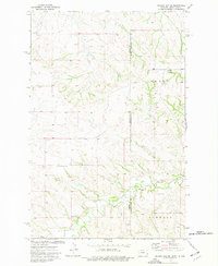
1974 · Odland Dam NE
USGS Topo · 1:24,000
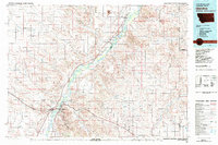
1981 · Glendive
USGS Topo · 1:100,000