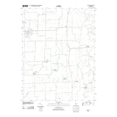
2010 Map of Odon
USGS Topo · Published 2010About this map
Odon and its neighboring rural settlements anchor this landscape in Daviess County, where the agricultural grid meets the winding courses of the North Fork Prairie Creek and Seed Tick Creek. The map documents a cluster of small crossroads communities including Raglesville, Farlen, Bramble, and Burns City, each connected by a network of county roads. Local history and genealogy are preserved in the numerous burial sites across the township, such as Walnut Hill Cemetery on the outskirts of Odon and the more remote Kilgore Cemetery.
Find a feature on this map
66 named features on this map. Tap any name to fly to it.
Don’t see what you’re looking for? This feature index may not catch every label — zoom into the map to look around manually.
Map Details
Editions of this 2010 Odon Map
This is the sole edition of this map. No revisions or reprints were ever made.
Other maps of this area

1943 · Lyons
USGS Topo · 1:24,000

1943 · Epsom
USGS Topo · 1:24,000

1944 · Montgomery
USGS Topo · 1:24,000

1950 · Shoals
USGS Topo · 1:24,000

1950 · Odon
USGS Topo · 1:24,000

1956 · Loogootee
USGS Topo · 1:24,000

1956 · Koleen
USGS Topo · 1:24,000

1956 · Indian Springs
USGS Topo · 1:24,000

1956 · Vincennes
USGS Topo · 1:250,000

1957 · Vincennes
USGS Topo · 1:250,000