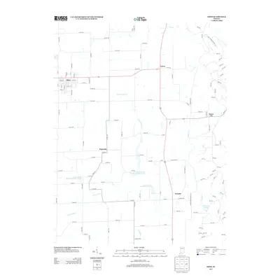
2013 Map of Odon
USGS Topo · Published 2013About this map
Odon stands as the primary hub in this portion of Daviess County, where a grid of streets like Maple St and Depot Rd defines the local infrastructure. The landscape is marked by a series of engineered water management features, including the Prairie Creek Dam Number A-3-1 and several structures along Prairie Creek Structure Number A-3-2 and N Fork Prairie Cr. These developments reflect the region's focus on agricultural stability and water control. Smaller rural clusters such as Burns City, Raglesville, and Farlen are linked by an extensive network of county roads, while the southern reach transitions into the recreational space of W Boggs Park. To the east, the terrain becomes more varied around Seed Tick Lake and Bramble, illustrating the mix of small-town settlement and managed riparian corridors characteristic of southern Indiana.
Find a feature on this map
55 named features on this map. Tap any name to fly to it.
Don’t see what you’re looking for? This feature index may not catch every label — zoom into the map to look around manually.
Map Details
Editions of this 2013 Odon Map
This is the sole edition of this map. No revisions or reprints were ever made.
Other maps of this area

1943 · Lyons
USGS Topo · 1:24,000

1943 · Epsom
USGS Topo · 1:24,000

1944 · Montgomery
USGS Topo · 1:24,000

1950 · Shoals
USGS Topo · 1:24,000

1950 · Odon
USGS Topo · 1:24,000

1956 · Loogootee
USGS Topo · 1:24,000

1956 · Koleen
USGS Topo · 1:24,000

1956 · Indian Springs
USGS Topo · 1:24,000

1956 · Vincennes
USGS Topo · 1:250,000

1957 · Vincennes
USGS Topo · 1:250,000