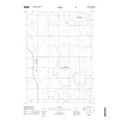
2017 Map of Oelrichs
USGS Topo · Published 2017About this map
Oelrichs serves as the central hub of this Fall River County landscape, where the town grid is defined by streets such as Elm St, Main St, and Railway St. The settlement is situated at a junction of regional transit, including Old Hwy 79 and the modern alignment of US Highway 18/385. Surrounding the town, the wide reaches of the Buffalo Gap National Grassland dominate the topography, interspersed with distinctive local elevations like Windy Butte to the north and Limestone Butte to the southeast. Water management is critical in this semi-arid region, evidenced by the Limestone Butte Reservoir and numerous drainage systems including Horsehead Cr and N Fork Blacktail Cr. The map captures a moment of modern rural infrastructure where old section roads like Shaw Rd and Short Grass Rd connect isolated plateaus and hollows such as Antelope Hollow.
Find a feature on this map
36 named features on this map. Tap any name to fly to it.
Don’t see what you’re looking for? This feature index may not catch every label — zoom into the map to look around manually.
Map Details
Editions of this 2017 Oelrichs Map
This is the sole edition of this map. No revisions or reprints were ever made.
Other maps of this area
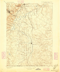
1896 · Oelrichs
USGS Topo · 1:125,000
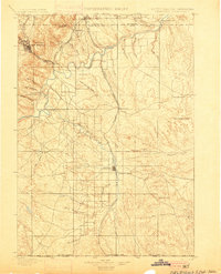
1900 · Oelrichs
USGS Topo · 1:125,000
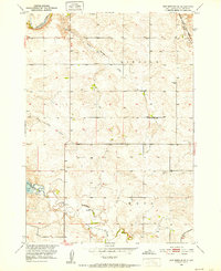
1950 · Hot Springs SE
USGS Topo · 1:24,000

1955 · Hot Springs
USGS Topo · 1:250,000
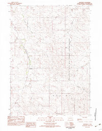
1982 · Smithwick
USGS Topo · 1:25,000
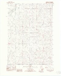
1982 · Oelrichs SW
USGS Topo · 1:25,000
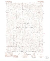
1982 · Heinne Creek
USGS Topo · 1:25,000
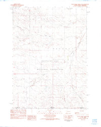
1982 · Black Banks Creek East
USGS Topo · 1:24,000
1982 · Hay Canyon Butte
USGS Topo · 1:25,000
1982 · Lone Well Creek East
USGS Topo · 1:24,000