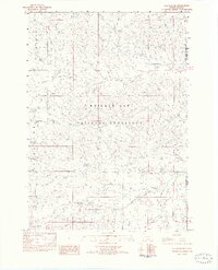
1982 Map of Oelrichs NE
USGS Topo · Published 1982About this map
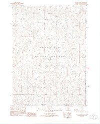
Buffalo Gap National Grassland dominates this corner of Fall River County, where the high plains transition into a complex system of ridges and seasonal watercourses. The 1982 survey reveals a landscape defined by significant geologic features such as Pine Ridge and Limestone Ridge, which provide verticality to the expansive grasslands. Hydrological patterns are clearly marked by the branching network of Blacktail Creek, including its North Fork, South Fork, and South Branch. These creeks, along with Kennedy Creek in the northwest, illustrate the natural drainage system of the area before modern extensive development. Prominent landmarks like Rock Butte and Slim Butte serve as navigational anchors across the open terrain, marking a territory where topography was the primary guide for ranchers and early travelers.
Find a feature on this map
15 named features on this map. Tap any name to fly to it.
Don’t see what you’re looking for? This feature index may not catch every label — zoom into the map to look around manually.
Map Details
Editions of this 1982 Oelrichs NE Map
This is the sole edition of this map. No revisions or reprints were ever made.
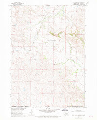
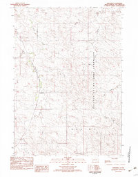
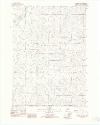
Other maps of this area

1896 · Oelrichs
USGS Topo · 1:125,000

1900 · Oelrichs
USGS Topo · 1:125,000

1955 · Hot Springs
USGS Topo · 1:250,000
1967 · Slim Butte SW
USGS Topo · 1:24,000

1967 · Slim Butte NW
USGS Topo · 1:24,000

1967 · Willow Creek SW
USGS Topo · 1:24,000
1982 · Smithwick
USGS Topo · 1:25,000
1982 · Oelrichs SW
USGS Topo · 1:25,000
1982 · Heinne Creek
USGS Topo · 1:25,000
1982 · Hay Canyon Butte
USGS Topo · 1:25,000