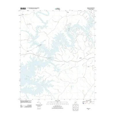
2011 Map of Ofelia
USGS Topo · Published 2011About this map
The Tallapoosa River and Little Tallapoosa River dominate this landscape, their winding courses shaped by the waters of the R L Harris Reservoir. This map reveals the intricate shoreline and numerous creek branches that feed into the reservoir system, including Triplett Creek and Miles Branch. The settlement of Ofelia sits on the western edge of the quadrangle, while Swagg is located further north. This edition captures the infrastructure of the early 21st century, detailing river crossings such as the Island Ford Bridge and the Overton Bridge. These points of transit, alongside traditional landmarks like Young Ford, reflect the ongoing relationship between the local road network and the water. Rural family and community heritage is grounded in the presence of the Pleasant Hill Cemetery and Boozer Cemetery, which remain as fixed markers in a landscape otherwise defined by the rising waters and fluctuating shoreline of the Harris Reservoir.
Find a feature on this map
94 named features on this map. Tap any name to fly to it.
Don’t see what you’re looking for? This feature index may not catch every label — zoom into the map to look around manually.
Map Details
Editions of this 2011 Ofelia Map
This is the sole edition of this map. No revisions or reprints were ever made.
Other maps of this area

1891 · Ashland
USGS Topo · 1:125,000

1899 · Wedowee
USGS Topo · 1:125,000

1902 · Wedowee
USGS Topo · 1:125,000

1953 · Atlanta
USGS Topo · 1:250,000

1957 · Atlanta
USGS Topo · 1:250,000

1958 · Atlanta
USGS Topo · 1:250,000

1969 · Wadley North
USGS Topo · 1:24,000
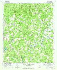
1969 · Newell
USGS Topo · 1:24,000
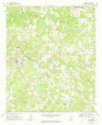
1969 · Wedowee
USGS Topo · 1:24,000

1969 · Mellow Valley
USGS Topo · 1:24,000