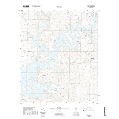
2020 Map of Ofelia
USGS Topo · Published 2020About this map
R L Harris Reservoir dominates the landscape of western Randolph County, its winding fingers filling the valleys once carved by the Tallapoosa River and its many tributaries. This 2020 survey illustrates the modern topography of the area, where water now covers historic crossings like Island Ford Bridge and Overton Bridge. On the eastern shore, the terrain rises toward Cockrell Mtn, overlooking the settlement of Wedowee. The map serves as a vital record for genealogists, as it identifies several established burial grounds including Pleasant Hill Cem, Shake Rag Cem, and Boozer Cem. While the reservoir has transformed the local geography, smaller communities such as Ofelia and Swagg remain positioned along the county roads, maintaining the rural character of this Alabama hill country.
Find a feature on this map
107 named features on this map. Tap any name to fly to it.
Don’t see what you’re looking for? This feature index may not catch every label — zoom into the map to look around manually.
Map Details
Editions of this 2020 Ofelia Map
This is the sole edition of this map. No revisions or reprints were ever made.
Other maps of this area

1891 · Ashland
USGS Topo · 1:125,000

1899 · Wedowee
USGS Topo · 1:125,000

1902 · Wedowee
USGS Topo · 1:125,000

1953 · Atlanta
USGS Topo · 1:250,000

1957 · Atlanta
USGS Topo · 1:250,000

1958 · Atlanta
USGS Topo · 1:250,000

1969 · Wadley North
USGS Topo · 1:24,000
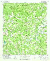
1969 · Newell
USGS Topo · 1:24,000
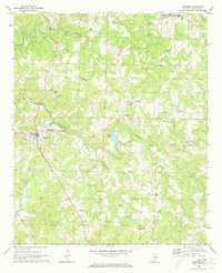
1969 · Wedowee
USGS Topo · 1:24,000

1969 · Mellow Valley
USGS Topo · 1:24,000